Although the brunt of Hurricane Irma passed by North Carolina, future storms may put the state's coast in danger.
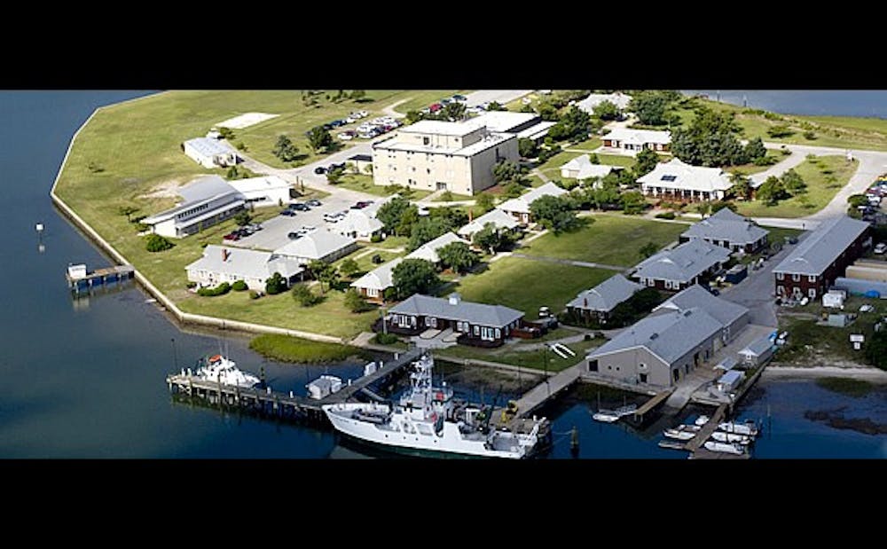
That's what Everette Newton, a Ph.D. student and a researcher at Duke Marine Lab, says. Newton has spent the past two years studying developments on barrier island Bird Shoal, outside the lab’s main research facilities in Beaufort, North Carolina. His team examines drone images of the skinny, two-mile-long spit of land—the only thing standing between about 4,200 Beaufort residents and the full force of the Atlantic Ocean.
Although much is still unknown about this shoal, some of its features leave researchers worried that if a storm like Irma ever does pass through, there might not be a Marine Lab left to study it. Newton said the most serious threat is the possibility of a break forming somewhere along the shoal.
“We are concerned there may be a breach in the island,” he said. “If water just flows through it, is it going to be a natural phenomenon where it’s going to fill on the back side, or is it just going to disappear?”
Strips like Bird Shoal help dampen the most devastating effects of storms, acting as protective cushions against the ocean’s full strength. However, if anything were to happen to Bird Shoal, Newton said he fears “the town would just get pounded by the waves and the energy of the Atlantic Ocean."
Newton noted that Beaufort is not prepared for that kind of force. Issues including water quality, marine debris and wildlife habitat loss would almost certainly plague the town, given its current state of preparation. That makes figuring out what is going on with Bird Shoal imperative for the future success of Beaufort, he explained.
As his team has been monitoring developments on Bird Shoal, they have noticed that the island is moving. Although this alone is not a surprise—scientists know that shoals are almost constantly on the move—what makes Bird Shoal a puzzle for the researchers is how far the strip has shifted since they began their study.
“We’re talking about major movements of islands,” he said.
Typical measuring methods for these strips involve tripod-mounted lasers scanning shifts on the scale of millimeters or less, but Bird Shoal’s movements have been too drastic for that to be effective. Newton’s team has observed shifts on the scale of centimeters or even meters.
That's where the drones come in. Calling on a fleet of various makes and models of this technology, Newton and his team have collected information on the island using a technique known as orthomosaics.
“You take a series of images, and then you stitch them together using software," Newton said. "We’re able to connect these images from before and after the storm, and we’re actually able to see these islands move.”
Drone flybys allow researchers like Newton to observe huge areas in relatively small amounts of time, even if they do not always understand what they’re seeing.
Another cause for uncertainty is the fact that Bird Shoal is not a natural formation, but an almost entirely man-made island—the result of large-scale spoil dredging efforts off Beaufort’s coast to facilitate ship traffic, Newton explained.
In an effort to allow larger vessels to pass the town on their way to port, Beaufort years ago dug up hundreds of tons of seabed sand and deposited it by the nearby Rachel Carson Nation Wildlife Refuge. As a result, the town inadvertently destroyed a thick wall of marshland that had protected it from the Atlantic Ocean, replacing it with the thin wedge of sand known today as Bird Shoal. An artificial barrier island like this has never been thoroughly studied before, Newton explained.
Even so, he said he still believes there is hope for Beaufort.
“We’re still at the recognition stage right now,” he said. “At some point you have to recognize the issue at hand, and then start to work on a remedy.”
Get The Chronicle straight to your inbox
Signup for our weekly newsletter. Cancel at any time.