Instead of being just a navigational tool, maps may also help people understand the social context of past societies.
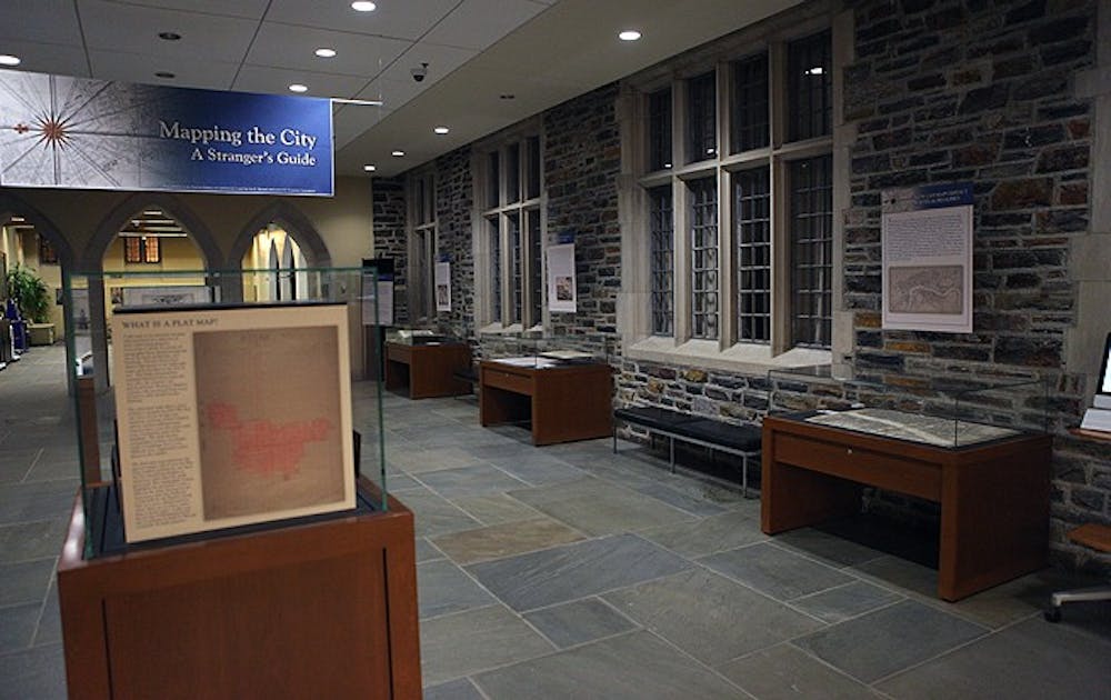
Duke students curated an exhibit devoted to analyzing maps in innovative ways Friday at Perkins Library. The exhibit, titled Mapping the City: A Stranger’s Guide, was hosted by students working on an independent study with Philip Stern, assistant professor of history and co-director at the Borderworks Humanities Lab. When the students learned that Perkins had reserved a space for a presentation of their choice, they developed an exhibit that featured unseen works from the David M. Rubenstein Rare Book and Manuscript Library collection and shed light on the numerous ways in which maps can be read.
“We are really trying to get across the message that maps can’t just get you from point A to point B,” said senior Mary Kate Cash, a key contributor to the exhibit. “They are also here to convey certain messages and intentions.”
The exhibit includes rare works such as the Willem Blaeu Atlas, of which only six in the world exist, and a sound map of modern-day London. For students interested in the University’s history, the exhibit features early 20th century photographs of East Campus.
Cash said that the creation of a map can be affected by a time period’s political climate. She cited an 18th-century London map as an example, noting that it stemmed from the city’s rivalry with Paris.
“The main reason the London map was made was because Paris had a great [map],” Cash said. “It wasn’t made to help people.”
The student curators also expressed the hope that the exhibit would encourage students to use maps not just as a visual resource but as a cited source in research papers.
“These maps are a window into a certain time period,” said junior Beth Blackwood, the main curator of the exhibit. “Students need to look at the person who issued the map and their motives to get a complete picture of the map’s place in society.”
The exhibit is made up of both a physical exhibit in Perkins as well as an online feature on the Duke University Libraries website. The exhibit’s webpage showcases expanded looks at the individual works of the collection and offers interested students more information on the exhibit, noted junior Lauren Jackson, a leading contributor of the website, in an email Sunday.
“It is able to draw in examples from beyond the library’s collections in order to place the exhibit’s maps in a wider cultural context,” Jackson wrote. “While the exhibit itself presents examples of maps, the website contextualizes these maps and gives a rounder background for the individual cases’ topics.”
Ultimately, the student curators hope that the exhibit sparks the interest of the Duke community and an increased awareness of maps themselves.
“The exhibit, with its location in the Perkins lobby, is ideal for catching the attention of passersby” Jackson said. “We hope that they stop to look at it, and are then inspired to learn more about each topic on our website.”
Get The Chronicle straight to your inbox
Signup for our weekly newsletter. Cancel at any time.